
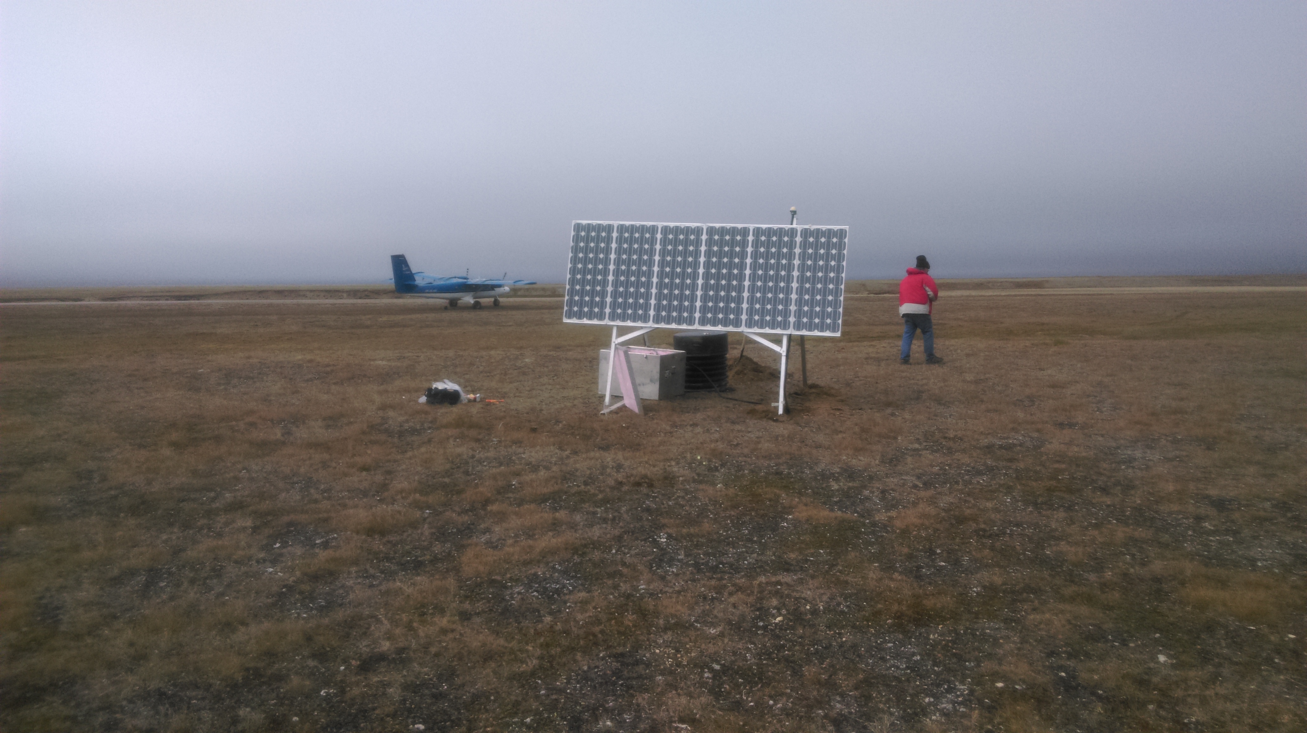
This summer we installed 2 new seismic stations on Banks Island, complementing the USArray Transportable Array station (A36M) located in Sach’s Harbour, southwest Banks Island, and a temporary site located at Johnson Point, eastern Banks Island. The project is a collaboration between the University of Ottawa (uO) and the Northwest Territories Geological Survey (NWTGS), with funding from the Polar Continental Shelf Program (PCSP), the NWTGS, and uO.
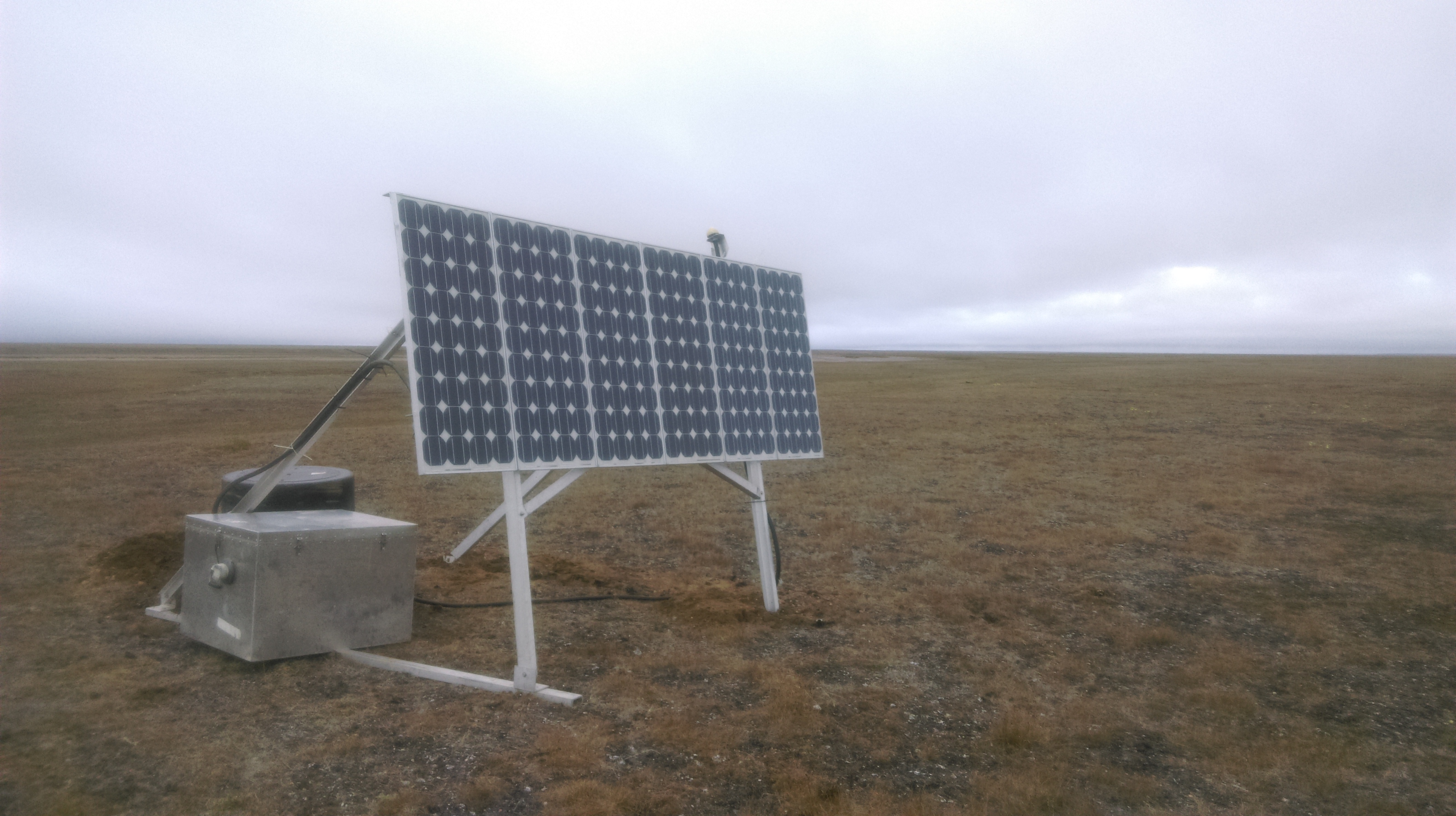
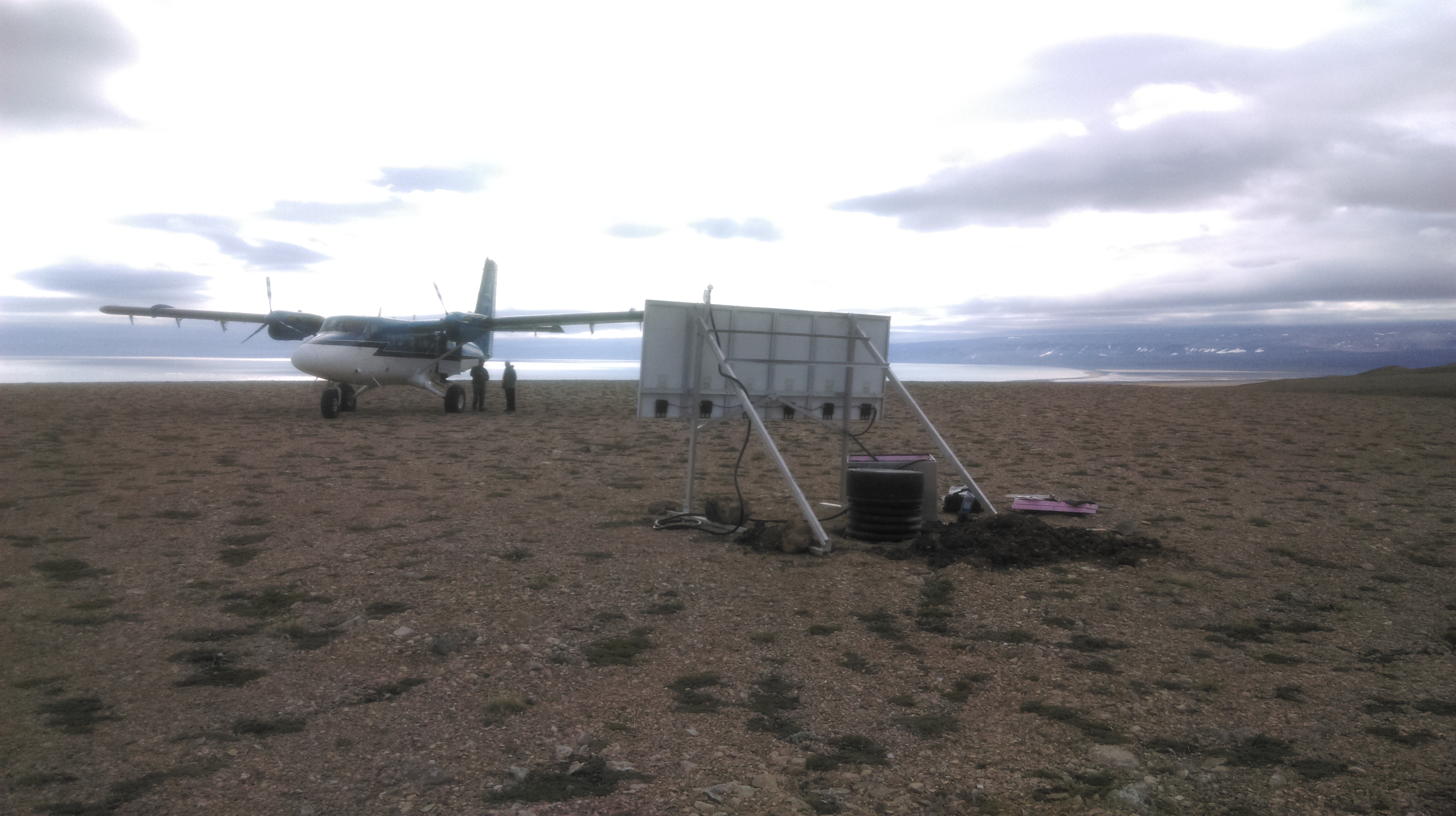
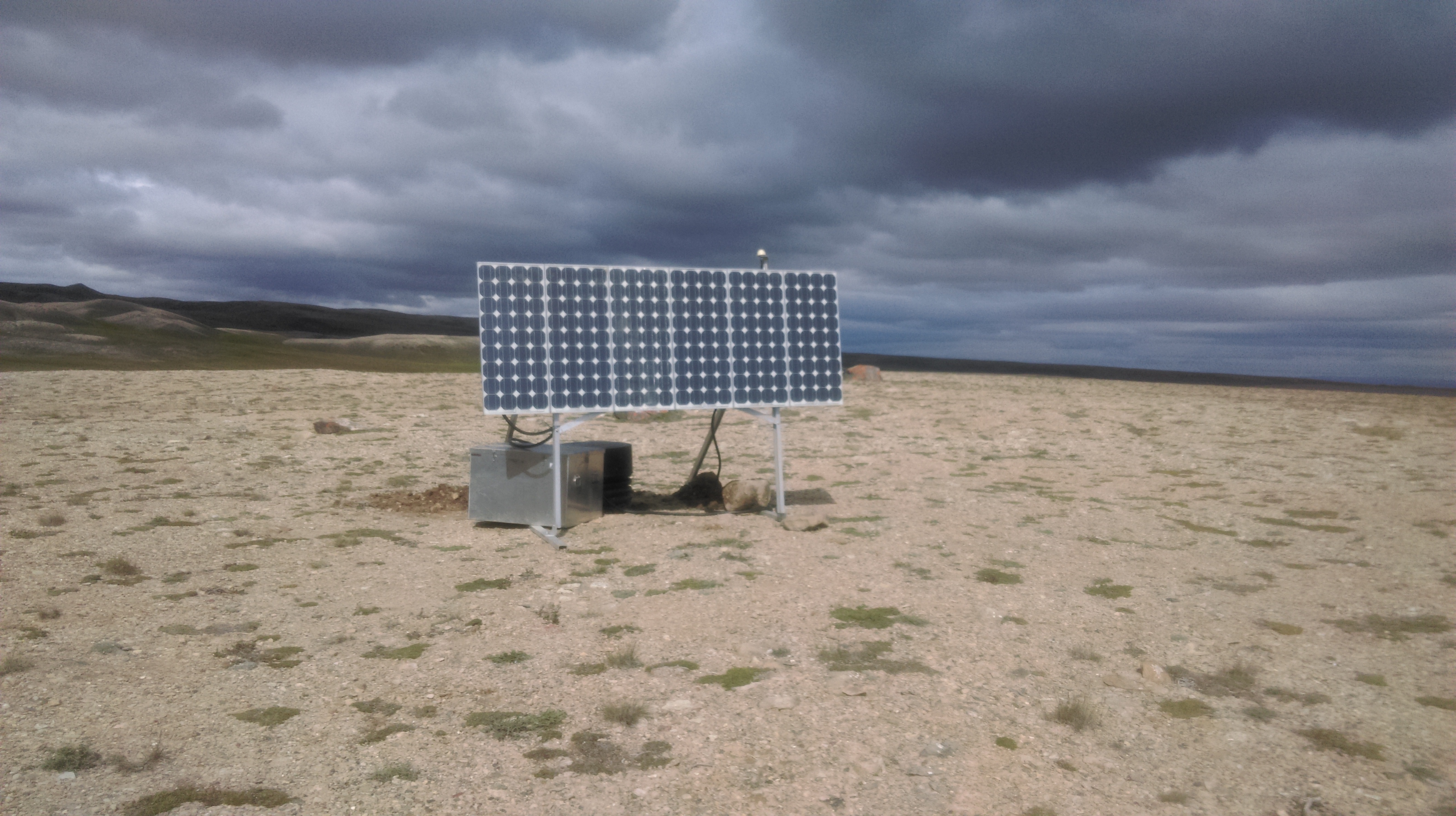
The two new stations are BRHR (Bar Harbour) and NLHD (Nelson Head), located at the northwest and southeast corners of the island, respectively. Their remote locations were accessed using a Twin Otter on Tundra tires, making for some fairly exciting landings at times.
Bar Harbour: ~74°N 124°W
Nelson Head: ~71°N 122°W
Although two additional sites were planned for installation, inclement weather conditions prevent all the gear from being delivered to Johnson Point. Ideally next year during the service run, the additional stations will be installed in northeast Banks Island and northwest Victoria Island. Stay tuned…
